Fires on the map: see where the smoke comes from
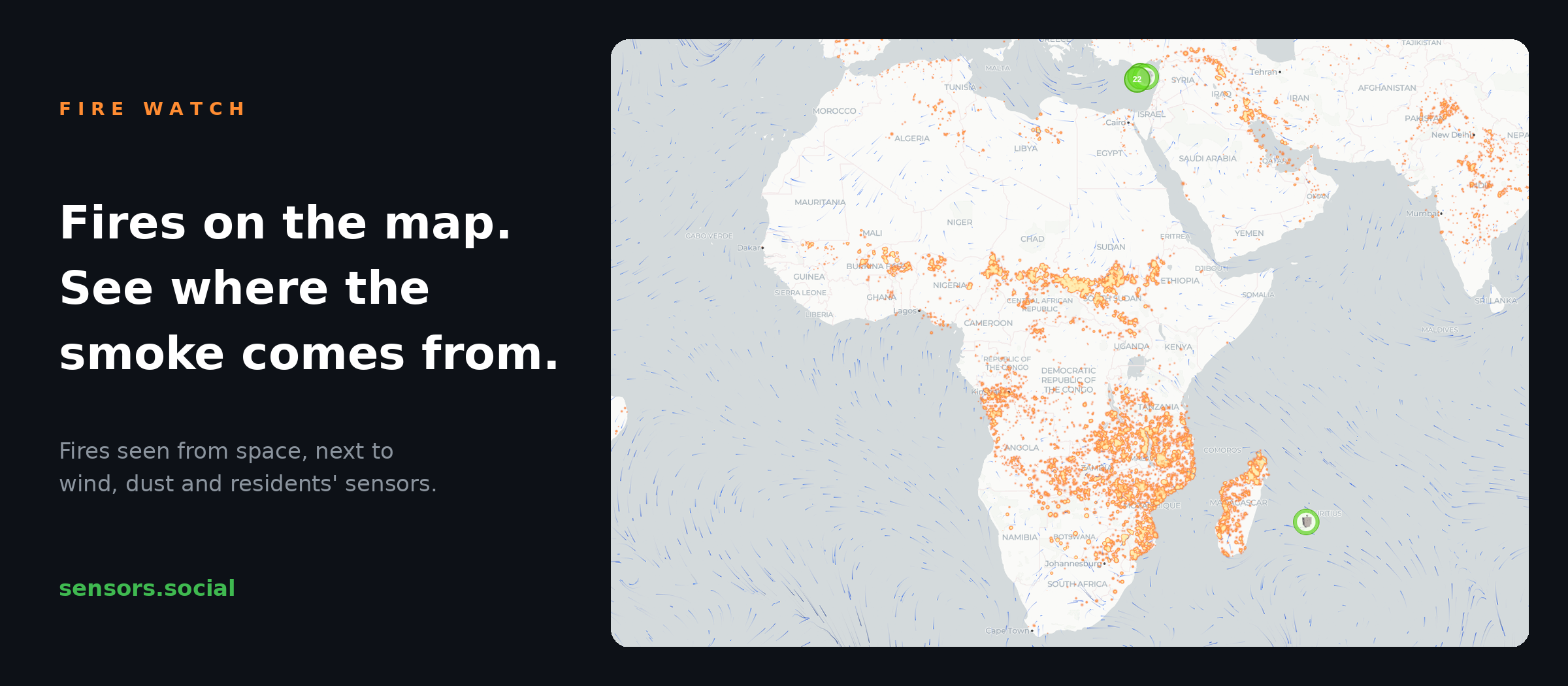
The sensors.social map now shows active fires detected from space. Turn the layer on next to wind and satellite dust, and you can trace a hazy day back to its source.
What’s new
A new Fires layer marks the fires that satellites have spotted over the past day. The brighter and bigger the glow, the more powerful the fire. Pick an earlier date on the map and you see the fires of that day instead.
How to use it
- Switch on Fires at the bottom of the map. On a phone it sits under the gear button.
- Keep Wind on. The moving streaks show where the smoke is heading.
- Look at the sensors downwind. If they climb while a fire burns upwind, you know where the haze comes from.
- Add Satellite dust to tell desert dust from smoke. Both make the air worse, but they come from different places and pass at different speeds.
Good to know
Satellites see heat, not only wildfires. Some points are farm burning or industrial gas flares that burn all year round. The sensors on the ground tell you what actually reaches your street.
The fire data comes from NASA. Like everything on sensors.social, the layer is open and free to use.